Newsletter
Join the Community
Subscribe to our newsletter for the latest news and updates
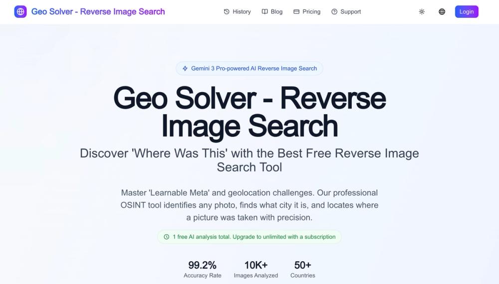
AI photo geolocation with explainable visual clue reasoning for GeoGuessr practice, OSINT research, travel verification, and geography learning.

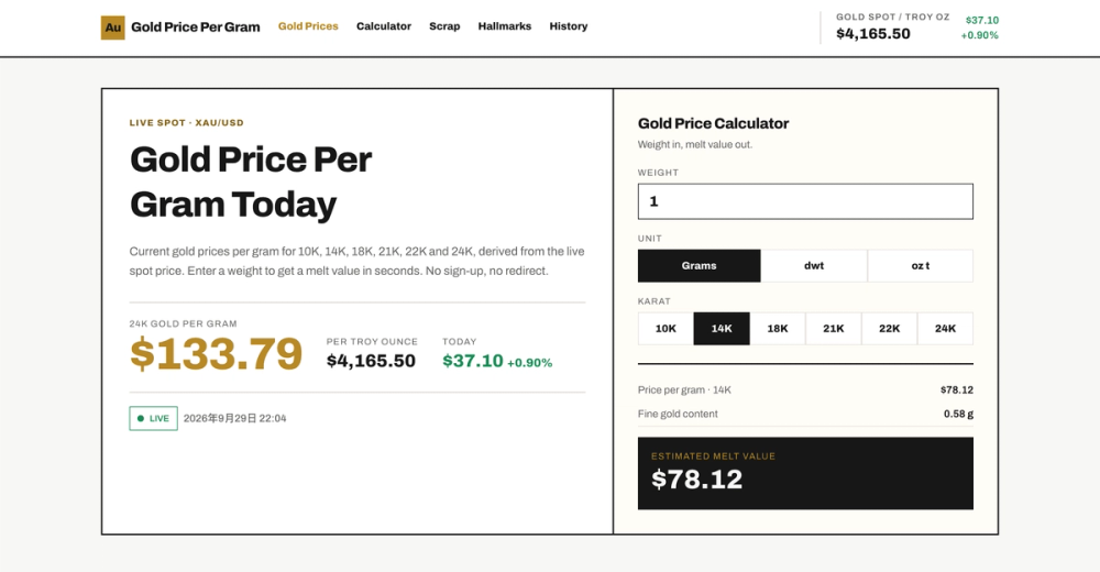
See how AI image prompts combine example images, full prompt text, model filters, categories, favorites, and optional on-site generation.
Overview
Reverse Image Location is an AI-assisted image geolocation tool for GeoGuessr practice, OSINT research, travel research, and visual location analysis. Users upload a photo and receive structured reasoning about visible scene clues such as signs, road markings, vegetation, architecture, terrain, shadows, vehicles, and map context.
Use cases
Verification
The tool focuses on explainable reasoning rather than treating one AI output as proof. Each result should be verified with maps, satellite imagery, reverse image search, and independent sources.